
… so Africa looks its real size
The UN General Assembly voted September 4 to back a new world map that shows Africa at its true scale.
The “Correct the Map” resolution, led by Togo and the African Union, passed 164–1. Only the United States voted no. Six countries abstained.
The Mercator map was designed in 1569 by the Flemish cartographer Gerardus Mercator to help European explorers navigate across the world.
The distortion of his map is a result of the fact that it is impossible to accurately represent the surface of a globe on a two-dimensional chart.
Whenever a map of the world is drawn, compromises need to be made.
The Mercator map accommodates for the curvature of the Earth by making countries near the equator seem smaller than they are, with countries nearer the poles appearing larger.
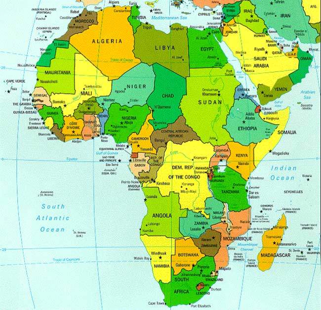
For centuries most of us have used the Mercator map. On it, Africa looks about the same size as Greenland. Africa is actually 14 times bigger. You could fit the U.S., China, India, Japan, Mexico, and a big chunk of Europe inside it and still have space left.
The resolution is not legally binding. It asks schools, governments, and tech companies to start using maps like the Equal Earth projection, which keeps land areas in proportion. Mercator can still be used for navigation.
Togo’s foreign minister put it simply: “A fair world begins with a fair map.”
The U.S. called the vote superfluous and said it was a distraction. France has already said it will drop Mercator for official maps.
Change won’t happen overnight. But the UN just put official weight behind a map that finally shows how big Africa really is.
#